In times of coronavirus
Tuesday, March 31, 2020
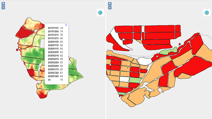
When we highlight the potential of spatial remote sensing, we always think about globality, periodicity and the ability to capture images beyond the visible spectrum, but in times of coronavirus, there is a feature that makes remote sensing especially useful, and it is the automatic process of acquisition and distribution of your data.
When throughout the world, the main measure against the coronavirus is the confinement of people in their homes, having platforms that continue capturing their data, allows us, in turn, to continue generating the necessary information for primary sectors such as farming.
The agrarian sector not only has permission for the activity, it is considered a basic and essential sector that guarantees the supply of food to the population, but it also has limited movement capacity, so having objective and reliable information from fields reduce displacements and improve agronomic decisions, making them faster and more efficient.
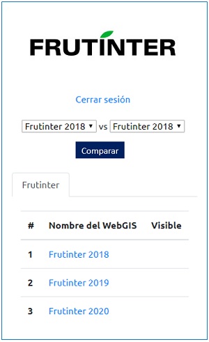
Click here to WebGIS.
From our offices in Maluenda (Zaragoza), we continue generating Derived Agronomic Indices (DAI) for agricultural farms in Mexico, Peru, Australia and, of course, also here in Spain.