30 years is nothing
Monday, September 28, 2020
Spatial remote sensing is characterized by its worldwide coverage, its periodicity in observations, its vision of objects beyond the visible, but above all for its objectivity. The data collected by the sensors, on board the satellites, in the form of multispectral images, are “photographs” of what is happening at the moment of the capture.
The ability to convert this data into information has applications not only in agriculture, but also in the management of water resources applied to irrigation.
In 1987, the defunct Geological Service of the Ministry of Public Works and Urbanism (MOPU) carried out the first remote sensing study in Spain for the Measurement and Evaluation of groundwater extractions in the aquifers of the Llanura Manchega.
It was a question of knowing the extractions that justified the decrease in the outflows to the Júcar river in its middle course or the drying of the Guadiana in the vicinity of Las Tablas de Daimiel.
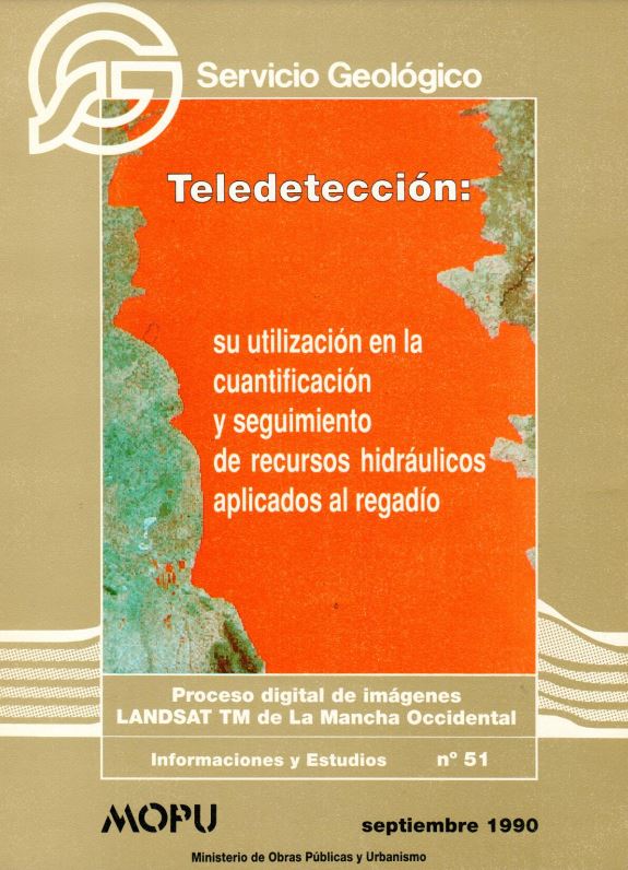
The methods, results, applications and suggestions were collected by the author, Salomón Montesinos, in the Bulletin nº 51 of September 1990 of the journal Informaciones y Estudios del MOPU.
This September marks the 30th anniversary of the publication of the first time that spatial remote sensing was used for the quantification and monitoring of hydraulic resources applied to irrigation.
Click on the image to see the publication: